
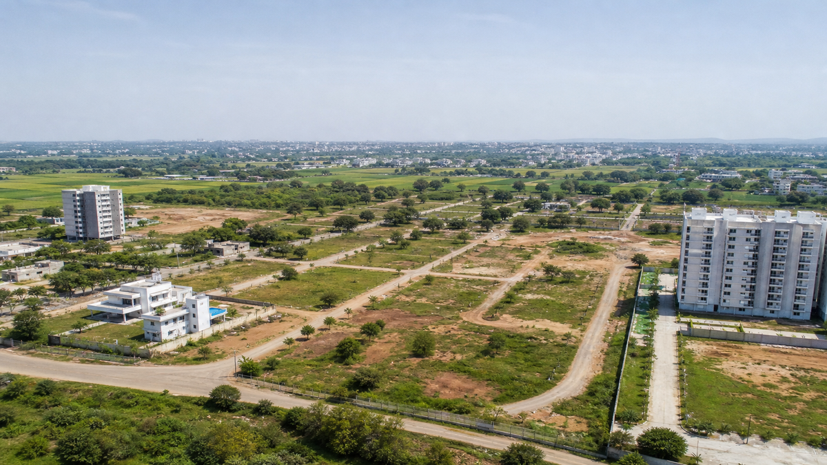
Telangana Statewide Land Survey 2026: Impact of the 10 Lakh Acre Verification on Property Buyers
In a massive administrative move that will reshape land ownership records across the state, the Telangana government has officially ordered joint Revenue and Forest Department surveys to resolve long-pending boundary disputes. Directed by Revenue Minister Ponguleti Srinivas Reddy, officials are currently on the ground cross-checking physical boundaries against historical revenue records, maps, and survey details. Spanning approximately 10 lakh acres, this statewide exercise—which notably excludes Hyderabad’s core real estate projects—targets deep-rooted conflicts involving revenue, patta, and forest lands, with the latest reports confirming active operations as of early November 2026.
For property buyers and agricultural land investors, this development is a double-edged sword. While the joint survey promises unprecedented title clarity, it also brings immediate risks for those purchasing unverified plots. Concurrently, Telangana is executing a broader three-phase digital land resurvey using advanced DGPS, survey rovers, GIS, and QGIS technologies. The first phase alone covers 2,720 villages (70 in each of the 32 districts), aiming to assign a unique Bhudhaar number to every land parcel and upload pristine records to the Bhu Bharathi portal. With surveys reportedly completed in 285 revenue villages by October 2026, the real estate landscape in tier-2 and tier-3 districts is undergoing a massive digital overhaul.
WHY THIS MATTERS FOR BUYERS & INVESTORS
The immediate impact of the 10 lakh acre verification drive is a temporary disruption in the marketability of disputed lands, followed by a long-term stabilization of property titles. Historically, the erstwhile Khammam, Warangal, and Adilabad districts have been hotspots for overlapping claims between private agricultural owners (pattadars) and the Forest Department. By mapping these boundaries digitally, the government is effectively filtering out properties with title defects, encroachments, and incorrect physical extents.
For investors eyeing the next 1 to 3 years, this survey could significantly improve the marketability of land with clean, confirmed boundaries. Digitised records and unique parcel identification via the Bhu Bharathi portal will drastically reduce ambiguity during property registration and mutation processes. Once a parcel receives its Bhudhaar number and is cleared of forest-boundary objections, its perceived safety—and consequently its demand—is likely to rise.
However, during this transitional phase, buyers must exercise extreme caution. The very process designed to clean up records may expose hidden overlaps, meaning a plot marketed today as “clear title” could be flagged as forest land tomorrow. Real estate activity driven by road and industrial development around district headquarters will eventually benefit from this clarity, but speculative purchases based purely on the announcement of the survey are highly ill-advised.
QUICK FACTS
| Parameter | Details |
|---|---|
| Location Focus | Statewide (excluding Hyderabad); primarily erstwhile Khammam, Warangal, and Adilabad districts |
| Current Price/Rate | Varies widely by mandal (No specific market-rate established; verify via local Sub-Registrar) |
| Approval Status | Administrative verification ongoing (Not an HMDA, DTCP, or RERA approval) |
| Connectivity | NH-30, NH-365 (Khammam); NH-163 (Warangal); NH-44 (Adilabad) & regional rail links |
| Possession/Launch Date | Not yet announced (Survey completion timeline varies by district and phase) |
WHAT YOU NEED TO KNOW
The most critical takeaway for any prospective buyer is understanding what this survey is—and what it is not. The Revenue-Forest survey is strictly an administrative boundary and record verification exercise. It does not automatically convert agricultural or forest land into saleable residential plots, nor does it grant layout approvals or establish a project’s eligibility for RERA registration. If a developer claims that an ongoing survey guarantees future layout approval, they are misrepresenting the facts.
The technological backbone of this initiative is robust. The deployment of DGPS (Differential Global Positioning System), survey rovers, and QGIS (Quantum Geographic Information System) ensures that physical boundaries are mapped with pinpoint accuracy. The ultimate goal of the first phase—spanning 2,720 villages—is to integrate these precise measurements into the Bhu Bharathi portal. Once integrated, every legitimate parcel will receive a Bhudhaar number, acting much like an Aadhaar card for land. This will make future title verification significantly easier for buyers.
However, until the joint survey and the subsequent public objections process are fully completed, any parcel located in the affected regions should be treated as high-risk. Distances to major infrastructure like the Outer Ring Road (ORR), metro stations, or airports cannot be generalized. Buyers must verify the exact distance by road to the nearest all-weather public road and assess whether the approach road is officially recorded as a public right of way, rather than just a private agricultural track.
PRO TIPS FOR BUYERS
- Do not pay a token amount until a qualified property lawyer thoroughly checks the full title chain, prohibited-property status, forest records, assigned-land records, and any pending litigation.
- Match every single document—including the sale deed, pahani/adangal, mutation proceedings, passbook, survey sketch, FMB, Dharani/Bhu Bharathi entry, and tax receipts—with the exact survey number and physical extent on the ground.
- Commission an independent DGPS survey before finalizing any purchase. Compare your independent findings with official government maps rather than relying solely on the boundary stones placed by the seller.
- Confirm planning permission in writing directly with the DTCP or the relevant local planning authority before buying into any plotted development. A gram panchayat letter or a marketing brochure is not a valid substitute for competent authority approval.
- Use registered banking channels for all transactions and ensure your sale agreement is strictly conditional upon clean title, lawful access, zero forest/revenue overlap, and successful registration.
Also Read
A Comprehensive Guide To Converting Acre To Guntas Simple Calculations And Conversions
FAQ
Does the joint land survey mean my agricultural property is now approved for residential use?
No. The survey is strictly an administrative boundary and record verification exercise. It does not convert forest or agricultural land into saleable residential land, nor does it grant layout approvals or RERA registration.
Which areas are most affected by the Telangana Revenue and Forest Department survey?
While the digital resurvey is a statewide exercise covering 32 districts (excluding Hyderabad real estate projects), the joint boundary dispute resolution primarily targets the erstwhile Khammam, Warangal, and Adilabad districts where forest-land boundaries are a recurring issue.
What is a Bhudhaar number and how does it help property buyers?
A Bhudhaar number is a unique identification assigned to a land parcel after it undergoes digital resurveying using DGPS and GIS. Uploaded to the Bhu Bharathi portal, this number helps buyers easily verify clean titles, accurate physical extents, and mutation history, thereby reducing real estate fraud.
Planning to Invest in This Area?
Don’t decide blindly! Browse verified listings or talk to a BigProperty.in property expert before you finalize your decision. Have a question about this locality? Drop it in the comments below.
null

