Patancheru Geography
Patancheru is a town located in the Sangareddy district of the Indian state of Telangana. It is situated at a distance of about 32 km from Hyderabad, the state capital. The town is situated on the banks of the Manjeera River and is surrounded by hills and forests.
Geographically, Patancheru lies at an altitude of about 522 meters above sea level. It has an area of about 21.12 square kilometers and is surrounded by several other towns and villages, including Ramachandrapuram, Bollaram, and Jeedimetla.
The climate of Patancheru is predominantly tropical, with hot summers and moderate winters. The average temperature in the summer months (March to May) ranges from 30 to 40 degrees Celsius, while in the winter months (December to February), it ranges from 15 to 25 degrees Celsius. The town receives an average annual rainfall of about 900 mm.
The surrounding hills and forests of Patancheru are home to a variety of flora and fauna, including species such as chital, sambar, spotted deer, and wild boar. The Manjeera River, which flows through the town, is an important source of water for both irrigation and drinking purposes.
Overall, Patancheru’s geography is characterized by its proximity to Hyderabad, its location on the banks of the Manjeera River, and its surrounding hills and forests.
Patancheru Infrastructure
Patancheru, hyderabad has a well-developed infrastructure that supports its growing population and industries. Here are some details about Patancheru’s infrastructure:
Roads:
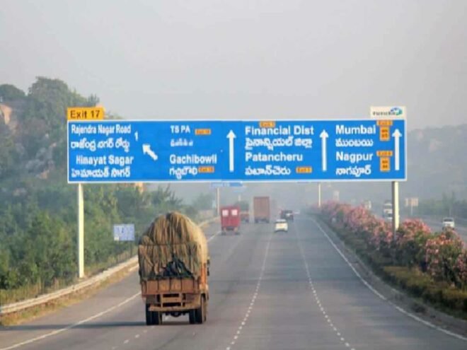
Patancheru is well-connected to Hyderabad and other nearby towns and cities through a network of roads. The National Highway 65 (NH-65) passes through the town, connecting it to Hyderabad, Vijayawada, and other major cities. The Outer Ring Road (ORR) also passes through Patancheru, providing easy access to the international airport and other parts of the city.
Railways: The town has a railway station that connects it to other parts of Telangana and neighboring states. The Patancheru Railway Station is located on the Secunderabad-Wadi line and has daily trains to Hyderabad and other cities.
Airport: The nearest airport to Patancheru is the Rajiv Gandhi International Airport in Hyderabad, which is located about 50 km away. The airport is well-connected to major cities in India and other countries.
Industries: Patancheru is known for its industrial development, with several manufacturing units and industrial parks located in and around the town. Some of the major industries in Patancheru include pharmaceuticals, textiles, chemicals, and engineering.
Education: Patancheru has a good education infrastructure, with several schools and colleges offering quality education. Some of the well-known educational institutions in the town include the National Institute of Pharmaceutical Education and Research (NIPER), Sangareddy District Institute of Education and Training (DIET), and the Vasavi College of Engineering.
Healthcare: Patancheru has several hospitals and clinics that provide quality healthcare services to the residents. Some of the major hospitals in the town include the Medicover Hospitals, Pranaam Hospital, and the Vista Imaging and Medical Centre.
Government Sectors and Offices Nearby Patancheru
Some of the government sectors and offices located nearby Patancheru are:
Patancheru Municipality- This is the local government body responsible for providing basic civic amenities like water supply, sanitation, and garbage disposal in Patancheru.
Tahsildar Office, Patancheru – This is a government office that deals with revenue administration in Patancheru, including land and property-related matters.
Regional Transport Office, Patancheru – This is a government office that is responsible for vehicle registration and issuance of driving licenses in Patancheru.
District Revenue Office, Sangareddy – This is the main administrative office of the Sangareddy district and is responsible for coordinating the activities of various government departments in the district.
Schools, Colleges, Hospitals, and Banks Nearby Patancheru
There are several schools, colleges, hospitals, and banks located near Patancheru in the Sangareddy district of Telangana state in India. Here are some of the major ones:
Schools:
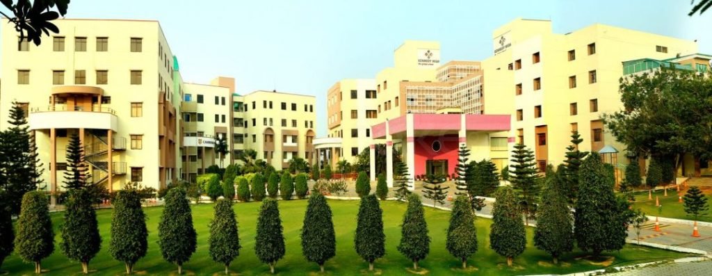
- Kennedy High Global School, Patancheru
- Global Indian International School, Patancheru
- Meridian School, Madinaguda
- Silver Oaks International School, Bachupally
- Delhi Public School, Miyapur
Colleges:
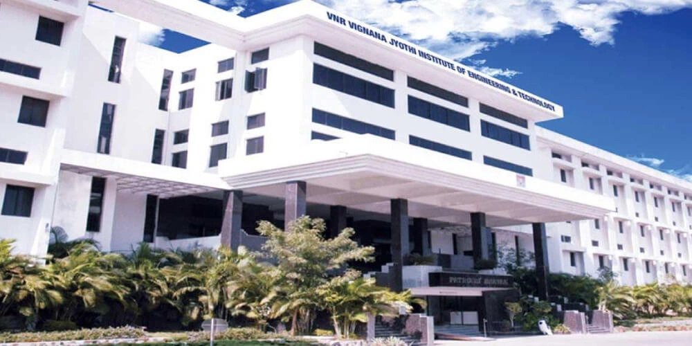
- Institute of Aeronautical Engineering, Dundigal
- VNR Vignana Jyothi Institute of Engineering and Technology, Bachupally
- CMR Institute of Technology, Kandlakoya
- Malla Reddy College of Engineering and Technology, Dhulapally
- JNTUH College of Engineering, Kukatpally
Hospitals:
- Apollo Hospitals, Kondapur
- Citizens Hospital, Nallagandla
- Continental Hospitals, Nanakramguda
- Rainbow Children’s Hospital, Kondapur
- AIG Hospitals, Gachibowli
Banks:
- State Bank of India, Patancheru
- Andhra Bank, Patancheru
- ICICI Bank, Patancheru
- HDFC Bank, Patancheru
- Axis Bank, Patancheru
Historical Places Nearby Patancheru
There are several historical places located nearby that are worth visiting. Here are some of the major ones:
Osman Sagar Lake – It is a beautiful lake located about 30 km from Patancheru. It was built in 1920 during the reign of the last Nizam of Hyderabad, Mir Osman Ali Khan.
Golconda Fort –
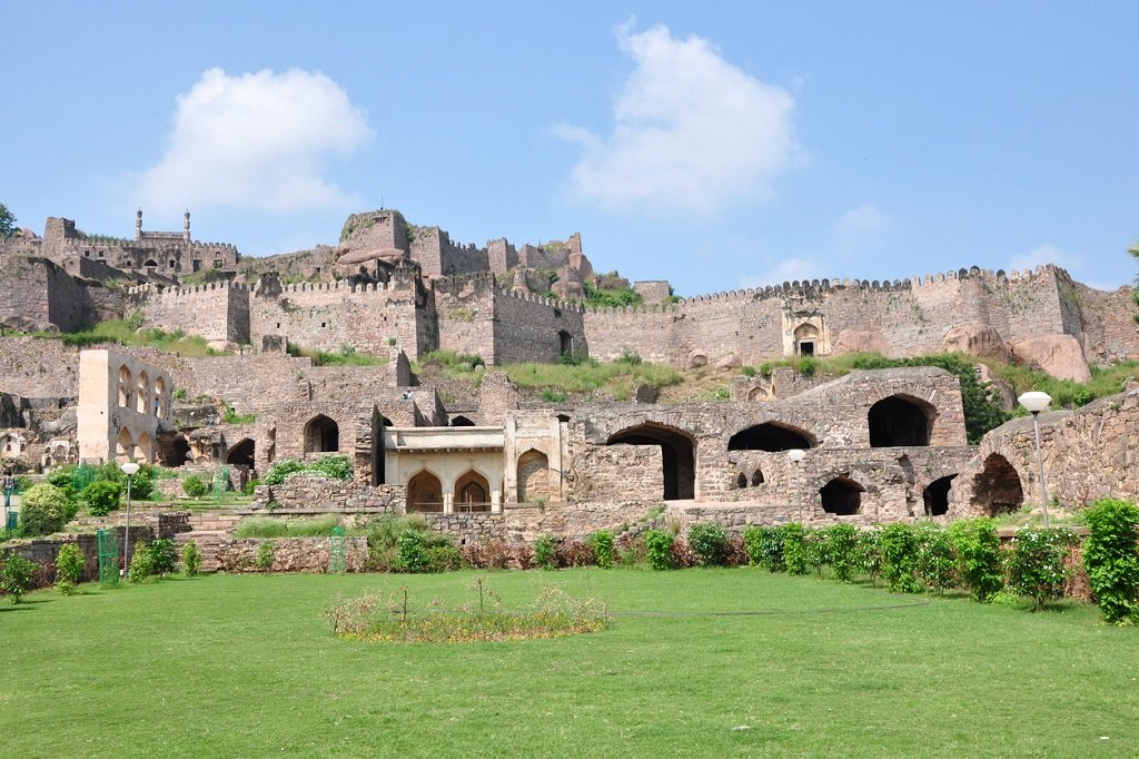
It is a historical fort located about 40 km from Patancheru. The fort was built during the Qutb Shahi dynasty and is famous for its architectural brilliance.
Qutub Shahi Tombs – It is a group of tombs located about 35 km from Patancheru. The tombs are the final resting place of the rulers of the Qutb Shahi dynasty.
Charminar – It is an iconic monument located in the heart of Hyderabad, about 45 km from Patancheru. The monument was built during the Qutb Shahi dynasty and is a symbol of Hyderabad’s rich cultural heritage.
Restaurants and Shopping Malls Nearby Patancheru
Patancheru and its surrounding areas have several restaurants and shopping malls that offer a wide range of dining and shopping options. Here are some of the major ones:
Restaurants Nearby Patancheru:
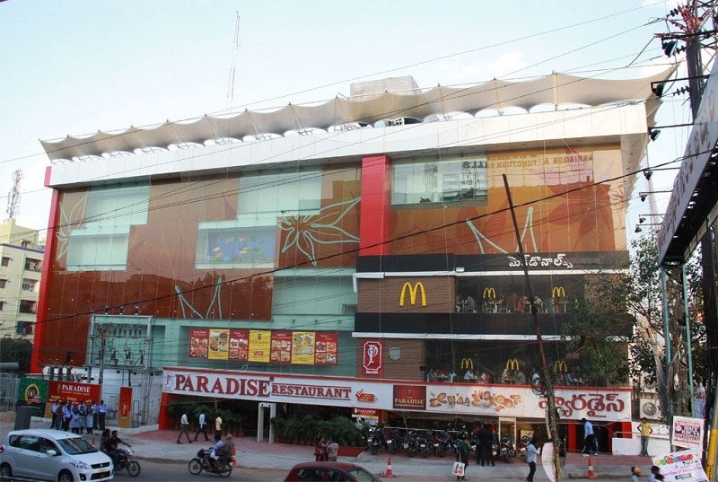
- Barbeque Nation, Forum Sujana Mall, Kukatpally
- Paradise Biryani, Kukatpally
- Little Italy, Forum Sujana Mall, Kukatpally
- Bawarchi, Kukatpally
- Chutneys, Kukatpally
Shopping Malls Nearby Patancheru:
- Forum Sujana Mall, Kukatpally
- Inorbit Mall, Hitech City
- Manjeera Mall, Kukatpally
Also read:
- Kothur: A Place to Reconnect with Nature and History
- How Kothur Investment for All Levels of Investors
- A Closer Look at Balanagar, Mahabubnagar district
- Choutuppal: Where History Meets Nature
- “Choutuppal Real Estate – A Growing Town with Endless Possibilities”
- Tukkuguda: A Growing Hub of Infrastructure and Development
- “Discover the Best Real Estate in Tukkuguda”
- Kadthal: A Paradise for Nature Lovers
- Kadthal Real Estate: The Perfect Blend of Nature and Modern Living
- Kandukur: The Hidden Gem of Hyderabad
- “Kandukur, Telangana Real Estate: Your Chance to Invest in the Future”
- Chityal: A Rural Retreat in Telangana
- “Chityal Real Estate: Where Your Dreams Come True”
- Ibrahimpatnam Unseen Beauty of Hyderabad
- Ultimate Guide to Investing in Ibrahimpatnam Real Estate
- Residential Plots in Yacharam
- Residential Plots in Ibrahimpatnam
- A Relaxing Retreat to Medchal
- Residential Plots In Medchal
- Explore The Town of Shamirpet, Hyderabad
- Residential Plots In Shamirpet
- Shamirpet Real Estate: The Perfect Place to Invest
- Residential Plots In Patancheru
FAQ(Frequently Asked Questions)
A: Patancheru Pincode is 502319.
A: Patancheru is located in Sangareddy district.
A: Total of patancheru Mandal is rural.
A: G. Mahipal reddy is Patancheru MLA.


